Bedste pris: 119,95 kr.Kort og rejseførere
Cook Island - East Pacific
?/100
Billigst lige nu
119,95 kr.
Bedste pris: 119,95 kr.Kort og rejseførere
Cook Island - East Pacific
?/100
Billigst lige nu
119,95 kr.
Vælg udgave
Ingen priser

Alle boghandlere
Forlagets beskrivelse
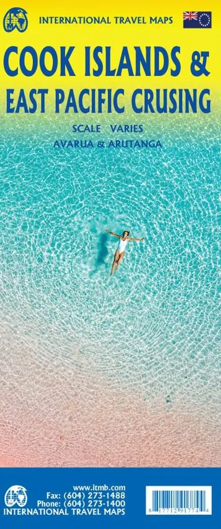
This is a combination map, focused on two travel realities. Side 1 is a detailed map of the main islands making up the Cook Island archipelago. The main map on Side 1 is a series of inset maps providing excellent detail of individual islands, such as Raratonga, Mangaia, or Aitutaki, or island groupings...
of more northerly groupings that are little more than atolls, such as Penrhyn or Palmerston. The capital is Avarua, and an inset map is included; also one of Arutanga on Aitutaki. Side 2 covers the eastern portion of the South Pacific, from the Marshall Islands, Nauru, and the Solomons on the west to Hawaii and Tahiti on the east, and as far south as New Zealand. Other island nations included on this map are Kiribati, Tuvalu, Fiji, Samoa, and New Caledonia.
Ingen boganmeldelser ...Læs mere›
Vi er endnu ikke stødt på en boganmeldelse af 'Cook Island - East Pacific' i de 527 aviser, blogs og andre medier, vi har fulgt siden 2010. Men vi har fundet 117.812 andre anmeldelser af bøger.