Bedste pris: 59,95 kr.Kort og rejseførere
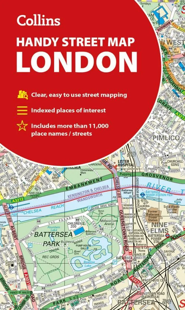
London Handy Street Map
af Collins
?/100
Billigst lige nu
59,95 kr.
hos Gucca
Bedste pris: 59,95 kr.Kort og rejseførere
London Handy Street Map
af Collins
?/100
Billigst lige nu
59,95 kr.
hos Gucca
Vælg udgave
Sammenlign priser

Forlagets beskrivelse
Clear and easy-to-read map of central London and surrounding area. Contains detailed mapping, presented in a handy compact format. This attractive map, ideal for both tourists and residents, and fully updated, has an extensive area of coverage and displays a wealth of detail. This map includes:
- New...
Ingen boganmeldelser ...Læs mere›
Vi er endnu ikke stødt på en boganmeldelse af 'London Handy Street Map' i de 527 aviser, blogs og andre medier, vi har fulgt siden 2010. Men vi har fundet 117.809 andre anmeldelser af bøger.