Bedste pris: 109,95 kr.Kort og rejseførere
Sunshine Coast & British Columbia Southwest
?/100
Billigst lige nu
109,95 kr.
hos Saxo.com
Bedste pris: 109,95 kr.Kort og rejseførere
Sunshine Coast & British Columbia Southwest
?/100
Billigst lige nu
109,95 kr.
hos Saxo.com
Vælg udgave
Sammenlign priser

Forlagets beskrivelse
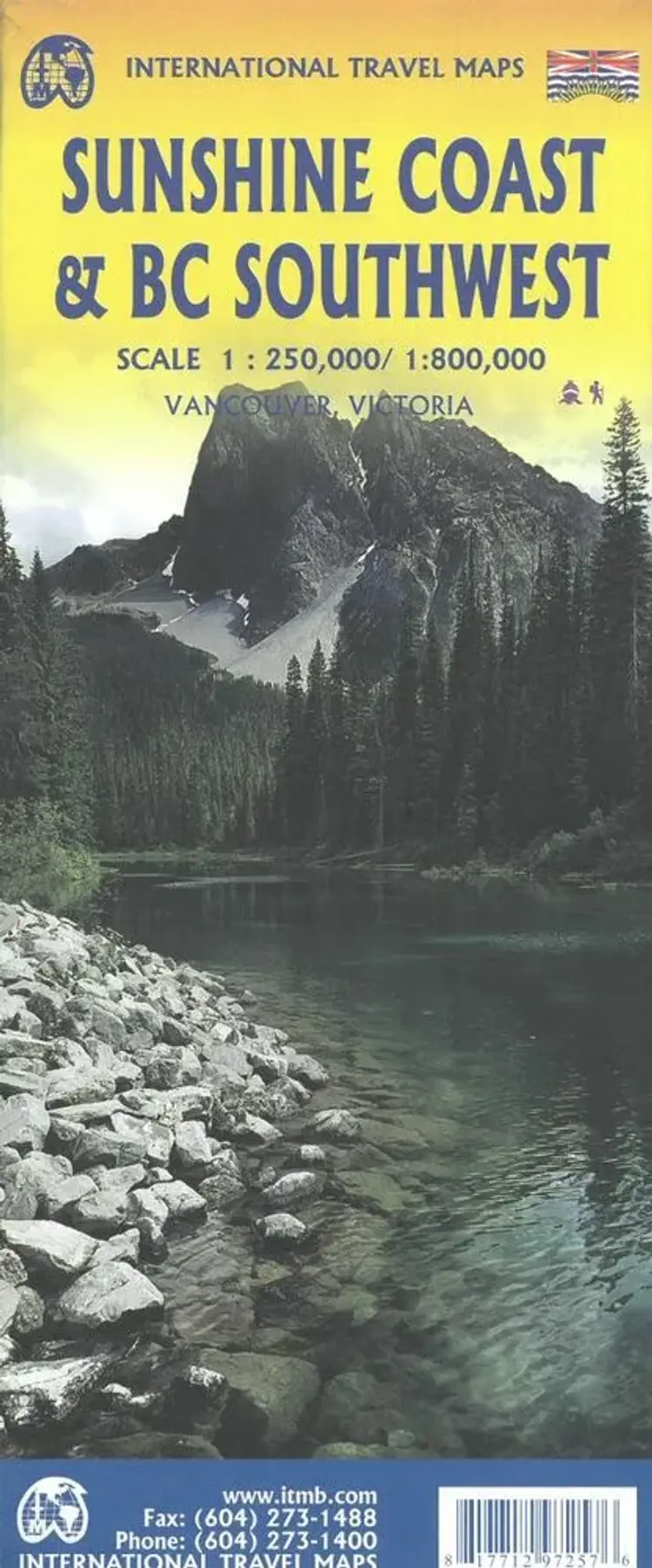
The coastline of Canadas British Columbia is long and varied. The best-known portion is the part just north and west of Vancouver, known as the Sunshine Coast (1:250.000). The rugged Coast Mountain Range makes road-building impractical for much of the interior, so communities such as Gibsons, Sechelt,...
Ingen boganmeldelser ...Læs mere›
Vi er endnu ikke stødt på en boganmeldelse af 'Sunshine Coast & British Columbia Southwest' i de 527 aviser, blogs og andre medier, vi har fulgt siden 2010. Men vi har fundet 117.806 andre anmeldelser af bøger.