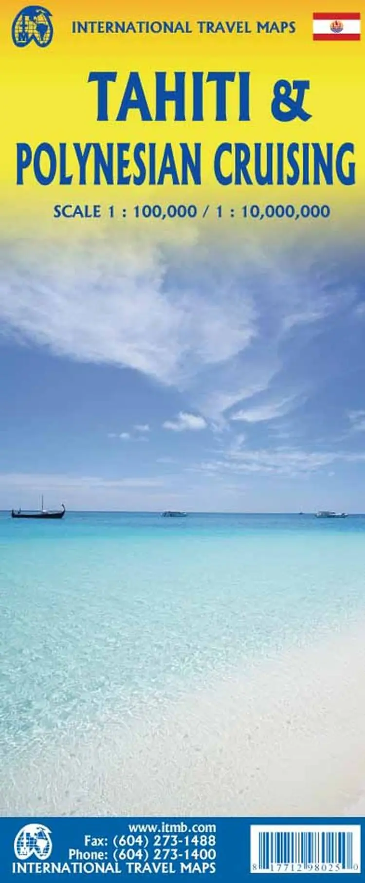
This map shows the major islands of French Polynesia as a series of large insets on Side 1. An overall inset map showing the many islands is also shown, but for showing detail, one must expand the individual islands. The largest one is the volcanic Tahiti Nui, with the capital city of Papeete (or Papeete...
in English), for which a detailed inset map is included. Most visitors stay in the vicinity of Papeete, along the coast. We show several popular resorts. There is a good circular road around the islands shoreline, but no roads in the interior. The island is joined to another, called Tahiti Iti, or Little Tahiti, and roads extend partway around this less-developed part of the combined island. Most of the other islands are rarely visited, although they have resorts, beaches, and a lifestyle of their own. Names like Huahine, Riatea, Tahaa, and Maiao may not be as familiar as they should be, but all can be reached by inter-island transportation. Moorea and Bora Bora are much better known, with numerous resorts along the coastline. Being a French Overseas Possession, Tahiti uses the Euro as a currency, so expect European prices! Tahiti is also a popular destination stop for cruise ships. The second side of the map covers a part of the world impossible to map well. The region known alternatively as Polynesia and as the South Pacific consists of a vast amount of water, dotted with small islands that are little more than the tips of mountains resting far below the surface. This map shows Hawaii at the upper edge and the northern tip of New Zealand at the bottom. The Queensland coast of Australia is at the far left, and the very isolated Pitcairn Islands at the eastern edge. In between are Cook Islands, Tahiti, Samoa, Fiji, the Solomons, Nauru, Kiribati, Micronesia, and the Marshall Islands.
Vi er endnu ikke stødt på en boganmeldelse af 'Tahiti & Polynesian Cruising' i de 527 aviser, blogs og andre medier, vi har fulgt siden 2010. Men vi har fundet 117.806 andre anmeldelser af bøger.